To find a parcel on Polk County, Missouri's public map, start at the county assessor's page and follow its GIS Information link. Open the official Polk County, MO GIS map to search for a parcel or identify a place on the map.
GIS means geographic information system. For this guide, think of it as a map with records attached. The viewer is useful for a first lookup, while the county's data limits still apply.
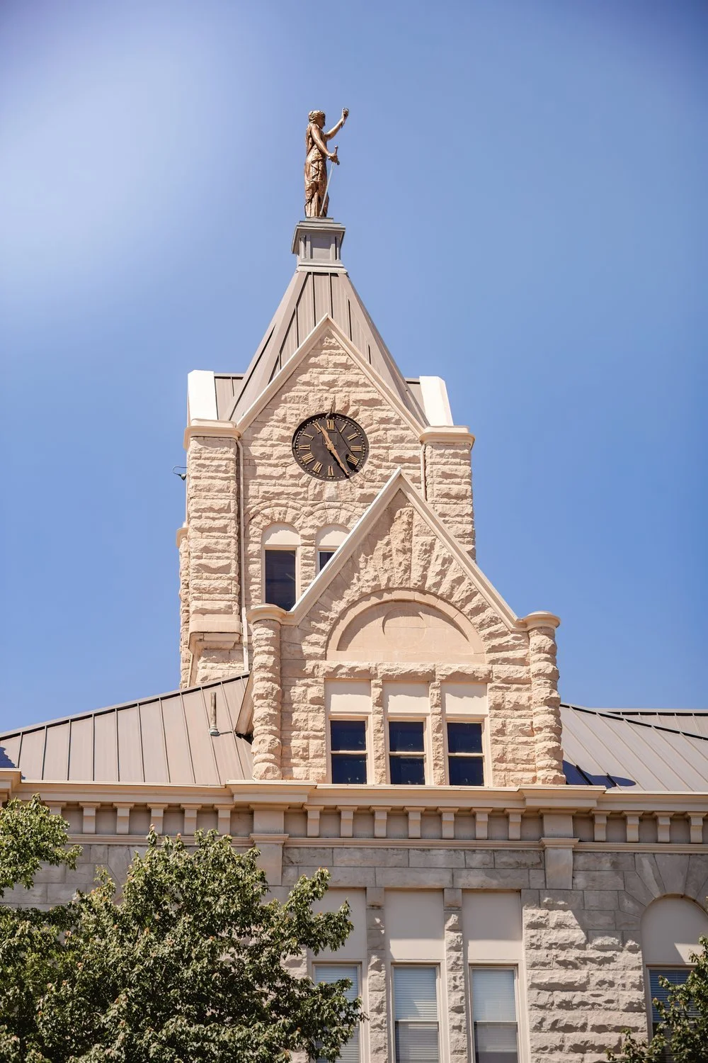
The Polk County Courthouse in Bolivar.
Check that you have the Missouri map
Several states have a Polk County. Use the link from polkcountymo.gov rather than choosing a map by county name alone. The official viewer identifies itself as Polk County, MO.
The assessor's page also keeps a link to the viewer. If a bookmark stops working, return to that page to find the county's current link.
Let the viewer load before searching
The map may load its assessor data after the outer page appears. Read its data-use notice before choosing whether to continue. The site says its default map is public, while some data and tools need a paid subscription.
Wait for the map and controls before starting a lookup.
The viewer has a search field and a Perform a Search control. Enter the information you have and check the results it returns. If a search doesn't find the place, don't treat that alone as proof that a parcel is missing. Check the spelling and the kind of information the viewer accepts.
Use Identify to inspect a place
The Navigation toolbar includes Identify, which is described as a way to find out about a location on the map. Use it on the place you're checking, then read the information returned for that selection.
Zoom in enough to separate nearby parcels before you choose one. Compare the result with the place you meant to select. Keep the road name and nearby features in view so you don't carry details from the next parcel into your notes.
The viewer also offers a Layer List. If you change the visible layers, check which information you're viewing before reading a line or shaded area as a parcel feature.
Keep a note of the lookup
A small note is more useful than a screenshot with no context. Record the date, the map you used, the place you searched and the details that matter to your question.
If the result shows a parcel identifier, copy it exactly. Keep questions beside the note rather than filling a gap with a guess. For example: “Is this the current record?” gives the county office a clearer starting point than an unlabelled map image.
Keep the county’s limits in view
The viewer says its data is for information only and that Polk County, Missouri doesn't guarantee the accuracy of the displayed information. Keep that notice with anything you print or save from the viewer.
Use the map for the lookup it supports. It doesn't settle a boundary, ownership dispute or other legal question. If your decision needs an official record or a survey, ask the right office or qualified professional for that work.
For a question about a map result, the assessor's page lists its office contacts. Note the parcel details first, so you can explain what you found. If your wider question is about a move, the Bolivar moving checklist covers utilities, licenses and voting.
Map, tax bill or deed: choose the right county link
| What you need | Where to start |
|---|---|
| View or search the parcel map | Polk County, MO GIS viewer |
| Ask about an appraisal or property record | Polk County Assessor’s Office, appraiser phone 417-326-4346 |
| Pay a property tax bill | Polk County Collector |
| Find the county’s deed-search service | Deed records linked by the county assessor |
The assessor’s website links to the GIS viewer, collector and deed records as separate services. Choose the one that matches the record you need.
Sources
- Polk County Assessor's Office, the official Missouri county source for its GIS link.
- Polk County, MO GIS viewer, controls and data notice reviewed October 25, 2026.