The Frisco Highline Trail’s Bolivar access is at 800 W. Jackson St., at the northern end of the route to Springfield. If you are planning a walk or ride from town, start with that access point and the trail operator’s map.
The whole trail and the paved section inside Bolivar are different distances. Knowing which one a source describes helps you choose a trip that fits your day. The details below come from official pages checked in October 2026.
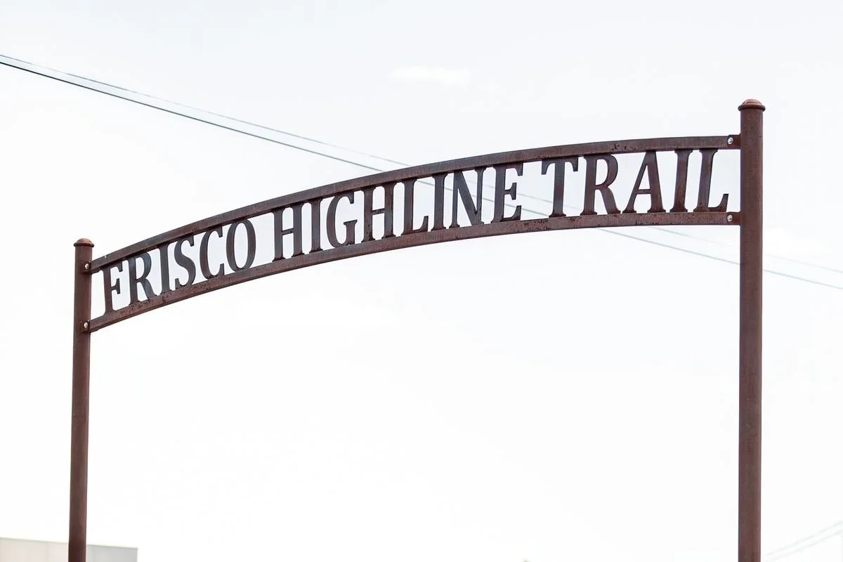
The Frisco Highline Trail arch at the Bolivar end of the route.
Start at the Bolivar trailhead
Ozark Greenways’ Frisco Highline Trail page lists Bolivar at mile 35. Its other access points run south through Wishart, Walnut Grove, Willard, and Springfield.
That mile number marks a position on the full trail. It is not the distance you must walk from the parking area.
The city’s Frisco Highline Trailhead page lists a pavilion with picnic tables, restrooms, and trail access at the Bolivar site. Check current conditions before relying on a facility during your visit.
If you want a loop within a city park, the Dunnegan Park guide gives you a separate option. The Frisco is a longer route with several entry points.
Use the official Frisco Highline Trail map
The operator provides a printable Frisco Highline Trail map. It shows the Bolivar end, mile markers, access points, bridges, and an on-road connection near Bolivar.
Read that connection before choosing a longer route. A trail map can include both a path and a connection along roads. Do not assume that every line represents one continuous path away from traffic.
| Map detail | How it helps your plan |
|---|---|
| Bolivar trailhead | Gives you the town access point. |
| Mile markers | Help you place one section within the full route. |
| Other trailheads | Show where a longer trip can begin or end. |
| Surface key | Helps you compare pavement and gravel. |
| On-road connection | Signals a section to understand before extending your trip. |
Save the official map where you can find it again. Check the operator’s current page as well, since a downloaded map does not carry every later update.
Pavement and gravel along the route
Ozark Greenways describes the route as 35-plus miles. It lists about three miles of asphalt inside Bolivar and eight paved miles from Springfield to Willard. Much of the section between Willard and Bolivar is crushed gravel.
Those figures describe sections of the whole route. They do not promise a three-mile walk from any chosen entrance or prove that the entire route suits a particular bike, stroller, or mobility device.
Choose the section and surface first. Then choose how far you want to go. For equipment needs or a question about a connection, use the operator’s current contact information before setting out.
Check daylight and current alerts
The operator lists the trail for walkers, runners, and bicyclists during daylight hours. Its rules include keeping pets on a leash, keeping right, and passing on the left.
Read the operator’s Trail Alerts & Closures page before leaving. An alert for a different Springfield trail does not describe conditions at the Bolivar end. A page with no notice for your section also cannot tell you everything you might find on the ground.
Follow signs and closures at the trail itself.
For snacks or supplies before a longer outing, the Bolivar grocery guide can help you plan a stop. If you are new to town, keep the moving checklist for the other local details that come with settling in.
Questions about the Bolivar end of the trail
Where is the Frisco trailhead in Bolivar?
The operator lists it at 800 W. Jackson St. Use the current map to place it within the full route.
Is the whole trail paved?
No. The operator lists paved sections and a longer crushed-gravel section. Check the surface for the part you plan to use.
Does mile 35 mean a 35-mile walk?
It marks the Bolivar end within the route. You can plan a visit from an access point without traveling the whole trail.
Where can you find the official map?
Use Ozark Greenways’ trail page and its printable map. Read the key and the marked connections before planning a longer trip.
Can you use the trail after dark?
The operator lists daylight-only use. Choose your visit and return time around that rule.
Pick your access point, read the map, and choose a section that fits the surface and distance you want. Start with the Bolivar end rather than treating the full trail as one afternoon’s plan.